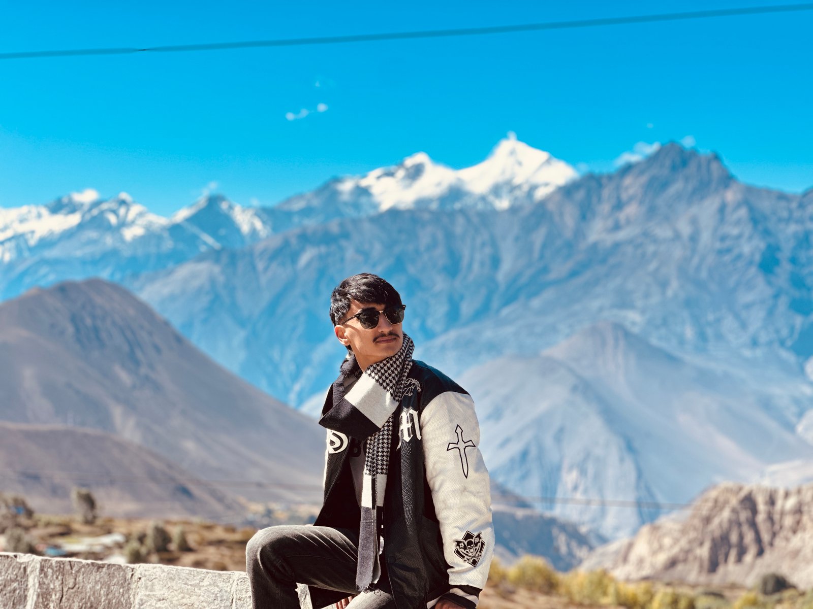
Where the green gives out
There is a line somewhere north of Ghasa where Nepal stops being green. Nobody has put up a sign. You are riding through pine and moss and waterfalls that soak the road, and then an hour later the hillsides are the colour of old brick and nothing grows on them at all. It is the most abrupt border I have ever crossed, and it is not on any map.
The reason is the wall behind you. Dhaulagiri stands on one side of this valley at 8,167 metres and Annapurna stands on the other at 8,091, and they are only about thirty-five kilometres apart. The monsoon comes up from the Bay of Bengal, hits that wall, and is wrung out completely on the southern face. Whatever gets over the top arrives with nothing left to give. Mustang is what a country looks like when the rain is used up before it reaches you.
The Kali Gandaki cuts straight through the middle of it, and the strange part is that the river was here first. It has been running along this line since before the mountains existed, and as the Himalaya rose the river simply kept cutting, holding its ground the way a saw holds a line through a plank being pushed up into it. So the gorge is not a valley between two mountains. It is a cut through them.
The wind keeps a schedule
You learn quickly that this valley runs on a timetable. In the morning it is still and cold and the light comes down the gorge sideways. By about eleven the sun has warmed the high desert to the north, the air there rises, and everything in the valley below gets pulled up to fill the gap. From late morning until evening a hard wind blows straight up the gorge, and on a motorbike, on gravel, with luggage strapped on the back, it is not something you argue with. Everybody who lives here rides early. I learnt that the way most people learn it.
Rupse Chhahara comes down beside the road before all that begins, in the green half, falling in one long white drop close enough that the spray reaches the tarmac. It is the last extravagant thing the landscape does before it becomes austere.
Muktinath
At the top of the ride is Muktinath, at 3,710 metres, and it is one of the few places I can think of where two religions did not argue about it. Hindus come here because it is Mukti Kshetra, the ground of liberation, one of the hundred and eight Divya Desams. Buddhists come here because it is Chumig Gyatsa, the hundred and eight waters. Both traditions arrived at the same number independently, which either means something or is a coincidence so good it may as well.
Behind the temple there is a wall with a hundred and eight brass spouts, each one pouring meltwater. People walk the length of it and let every single one hit them. The water comes off the mountain, and at that altitude, in that air, it is genuinely painful. Everyone does it anyway. Old women in cotton saris were doing it faster than I was.
I rode up here on a bike with a flag on the back because it seemed like the correct amount of ceremony for what was, in the end, a long ride. Coming down, the poplars through Marpha and Jomsom had turned completely yellow, the wind was behind me for once, and it occurred to me that I had gone looking for a mountain and mostly found a lesson about weather.
Next entry
The reserve nobody goes toBaglung →